Meet Eshetu Shifaw from University of Cádiz
Join us in giving a warm welcome to our newest REWRITER, Eshetu Shifaw!
Eshetu’s work is rooted in the application of geospatial data and modeling to better understand human–climate–ecosystem interactions. His research integrates spatial analysis, environmental modeling, and large geospatial datasets to uncover the complex feedbacks between land systems, ecosystem services, and socio-environmental drivers. Through advanced geospatial technologies and quantitative approaches, he contributes to evidence-based environmental planning and sustainable development.
During his doctoral research, Eshetu focused on land cover dynamics and their effects on landscape mosaics and ecosystem service values. He modeled the interplay between socioeconomic, biophysical, and climatic drivers shaping land cover transitions and associated ecosystem service changes. By integrating multi-source geospatial data within GIS and statistical frameworks, he quantified spatial–temporal transformations and shared his findings through international peer-reviewed publications. His work provided important insights into how complex driver interactions reshape landscapes and influence ecosystem service provision.
In his first postdoctoral position, Eshetu expanded his research to address broader environmental challenges. He developed an ecological security framework integrating both anthropogenic and natural factors to assess ecological health, networks, and resistance surfaces—providing spatially explicit recommendations for conservation and restoration priorities. He also modeled multiple ecosystem services, including habitat quality, sediment retention, water yield, and carbon storage, identifying synergies and trade-offs and proposing innovative approaches for soil conservation planning.
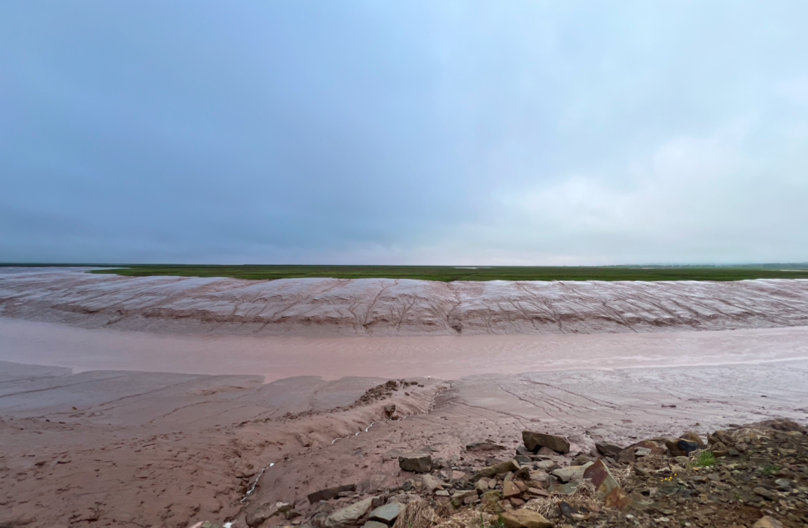
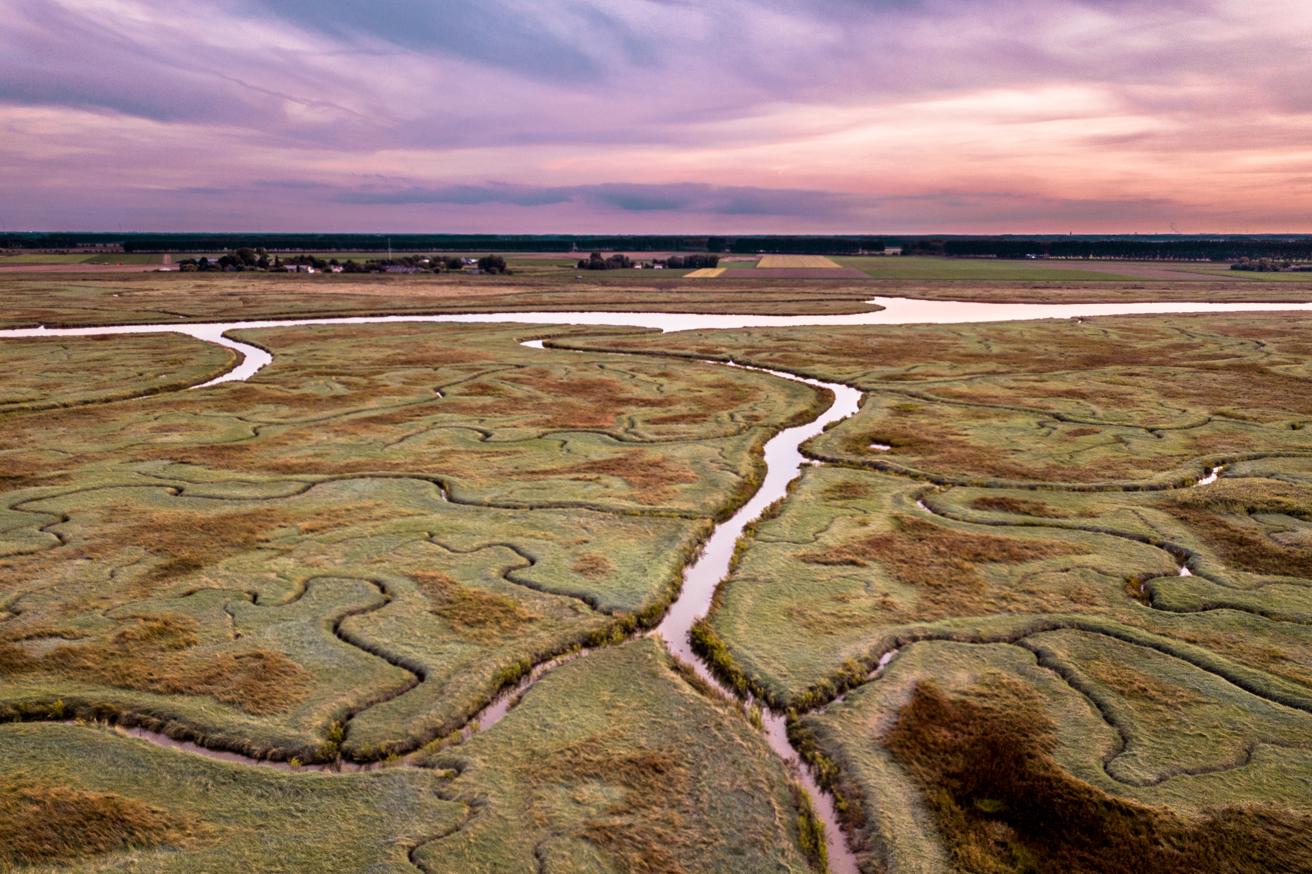
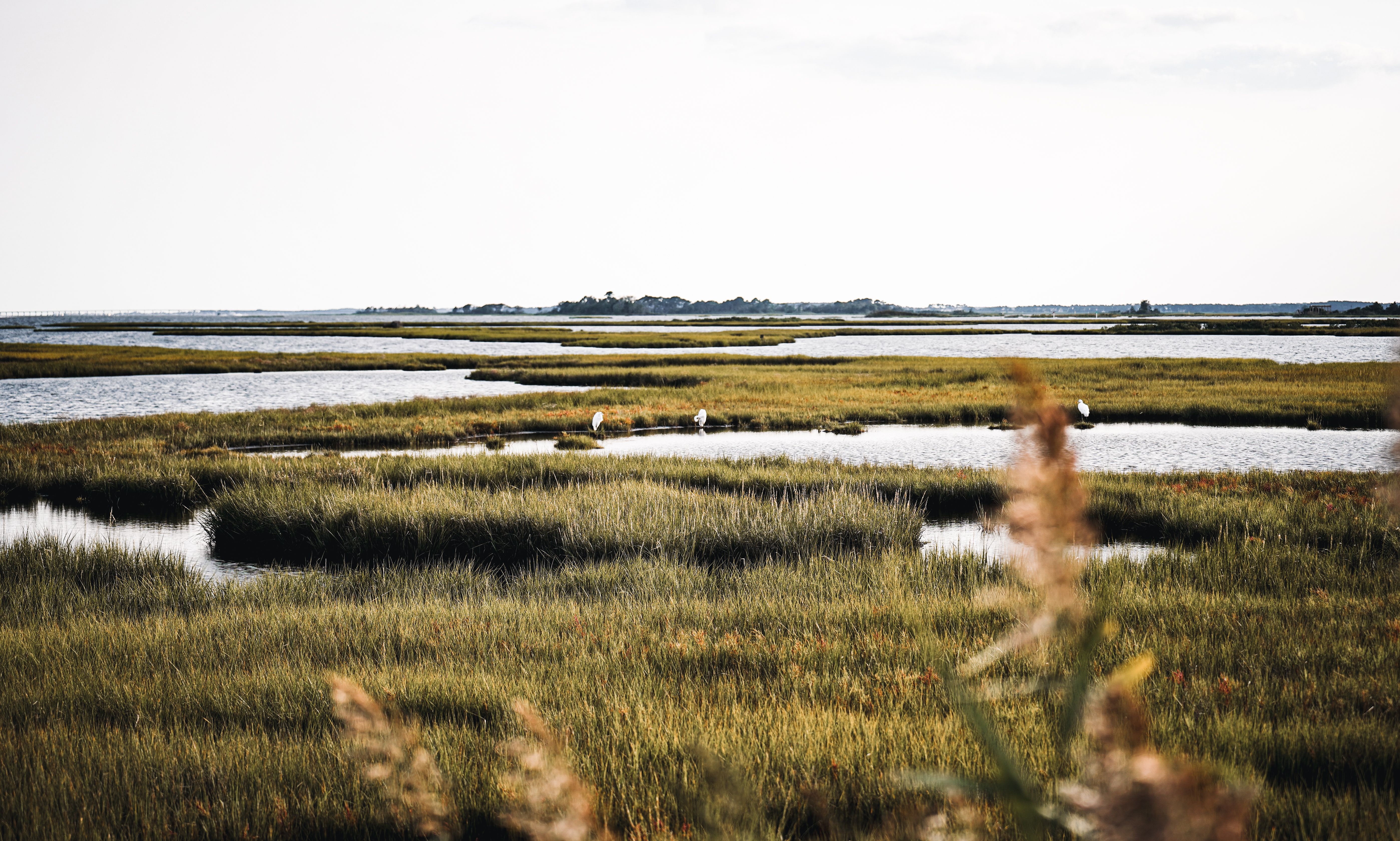
Currently, in his second postdoctoral position at the University of Cádiz, Eshetu focuses on nutrient and rainfall–runoff retention processes to support sustainable basin-scale water management. He is also evaluating satellite-based predictions of chlorophyll-a dynamics in Cádiz Bay’s tidal flats and monitoring saltmarsh dynamics using high-resolution aerial imagery to better understand coastal ecosystem change.
Within the REWRITE project, Eshetu brings strong expertise in spatial modeling, ecosystem service assessment, and the use of advanced tools such as ArcGIS Pro, Google Earth Engine, R, ENVI, and QGIS. His integrative and data-driven approach will strengthen our efforts to better understand and manage coastal and land-based ecosystems under changing environmental conditions.
We are delighted to welcome Eshetu to the team and look forward to seeing how his expertise contributes to innovative and forward-looking solutions within REWRITE.