

Past and current
Peazemerlannen Managed Realignment – Reconnection of former polder areas to tidal dynamics after the 1973 storm, restoring natural sediment processes and intertidal habitats – 485 hectares
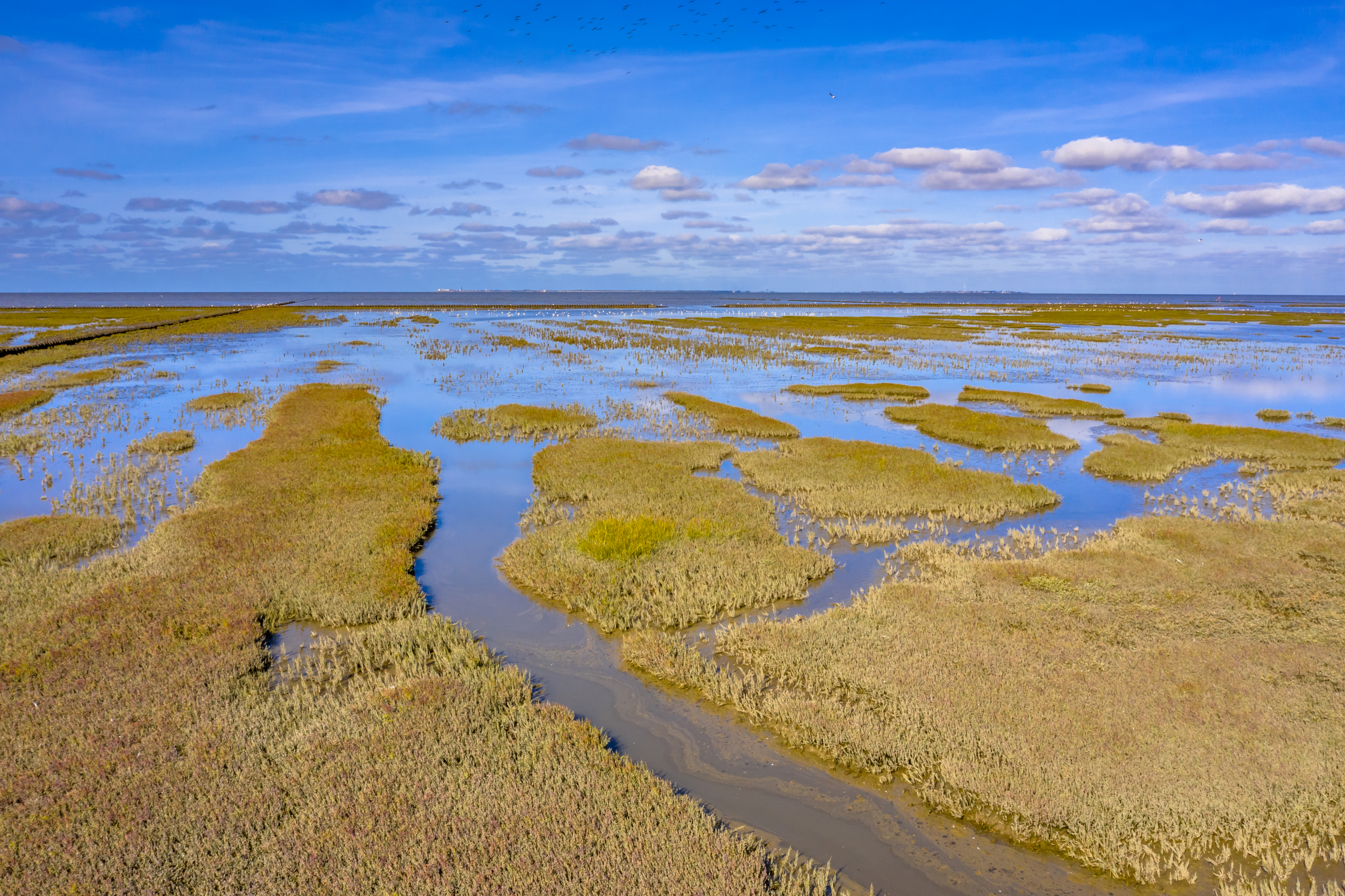
Wadden Sea Coastal Adaptation projects through the Wadden Sea World Heritage and the Waddenacademie – Series of restoration and nature-based coastal management initiatives aiming to recover saltmarsh habitats and improve coastal resilience – surface varies across projects.